Repurposing LiDAR Data from Autonomous Vehicles Creates Detailed VR Worlds
Devon Bauer · Jun 20, 2026
Repurposing LiDAR Data from Autonomous Vehicles Creates Detailed VR Worlds
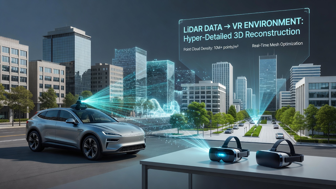
Autonomous vehicle fleets equipped with LiDAR sensors generate massive point clouds of real-world environments every day, and developers now convert these datasets into hyper-detailed 3D models for virtual reality platforms. The process begins when vehicles from companies like Waymo and Cruise traverse city streets while their rotating LiDAR units emit laser pulses that measure distances to buildings, roads, vegetation, and moving objects with centimeter-level precision. These raw measurements accumulate into dense spatial records that software pipelines later clean, align, and texture for VR use.
From Road Data to Virtual Spaces
Engineers extract static geometry from the dynamic scans by filtering out transient elements such as cars and pedestrians, then apply machine-learning classifiers to label surfaces like asphalt, brick, or foliage. Once classified, the point clouds undergo meshing algorithms that create polygonal surfaces, after which artists or automated tools add materials and lighting information derived from accompanying camera imagery. The resulting assets load into game engines such as Unreal Engine 5 or Unity, where developers optimize them for real-time rendering on headsets including the Meta Quest series and HTC Vive.
Research indicates that a single hour of LiDAR collection from a production autonomous vehicle can cover several square kilometers at resolutions fine enough to distinguish individual bricks on building facades. In June 2026, the International Conference on 3D Vision in Singapore featured multiple papers demonstrating how these same datasets now power training simulations for urban planners and emergency responders who practice navigation inside photorealistic replicas of actual city blocks.
Industry Adoption and Technical Pipelines
Startups specializing in digital-twin creation partner directly with autonomous-vehicle operators to license anonymized LiDAR archives. One pipeline, developed at the Australian Centre for Field Robotics, registers overlapping scans from multiple vehicle passes using iterative closest-point algorithms, which reduces noise and fills gaps caused by moving traffic. The registered clouds then feed into neural radiance field models that generate view-dependent lighting, allowing VR users to experience time-of-day changes without additional manual work.
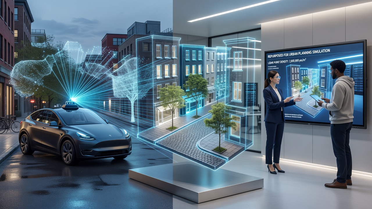
European researchers at the German Aerospace Center have published benchmarks showing that LiDAR-derived environments achieve geometric accuracy within 5 centimeters when compared against terrestrial laser scans of the same locations. These accuracy figures support applications in architectural visualization and cultural-heritage preservation, where exact spatial relationships matter. Integration with eye-tracking hardware inside VR headsets further allows the system to prioritize higher polygon counts near the user's gaze, conserving GPU resources in large-scale scenes.
Current Applications Across Sectors
Training programs for first responders now use reconstructed neighborhoods to rehearse disaster scenarios without occupying physical streets. Logistics firms test warehouse layouts by importing LiDAR scans of existing facilities and simulating forklift paths before any physical rearrangement occurs. Entertainment studios incorporate segments of these environments into open-world games, reducing the time required to model large urban areas from months to weeks.
Data from the U.S. Department of Transportation's voluntary AV reporting program shows that over 1.2 million miles of LiDAR-mapped roadway were collected across participating fleets during 2025 alone. A subset of this mileage has already been processed into VR-ready assets distributed through commercial marketplaces operated by Epic Games and Autodesk. Academic teams at the University of Toronto continue to refine compression techniques that shrink file sizes while preserving fine surface details needed for haptic feedback gloves.
Challenges and Ongoing Solutions
Seasonal changes in vegetation and construction activity create temporal inconsistencies between successive scans, requiring algorithms that detect and update changed geometry automatically. Privacy regulations in several jurisdictions mandate removal of identifiable information such as license plates and faces before datasets leave vehicle operators, adding an extra processing layer that VR developers must accommodate. Hardware advances, including solid-state LiDAR units with higher pulse rates, promise denser point clouds that will further increase model fidelity once they reach widespread deployment.
Conclusion
The transfer of LiDAR infrastructure from autonomous driving to virtual reality continues to expand as more fleets operate and more developers gain access to processed archives. Continued collaboration between transportation companies, research institutions, and VR platforms will determine how quickly these detailed environments reach consumer headsets and professional training systems worldwide.